Teston, Yalding and the
Medway
Distance: 7.5 Miles (3.5
Hours)
OS Map: Explorer 136 &
148 (Start at grid reference TQ706533)
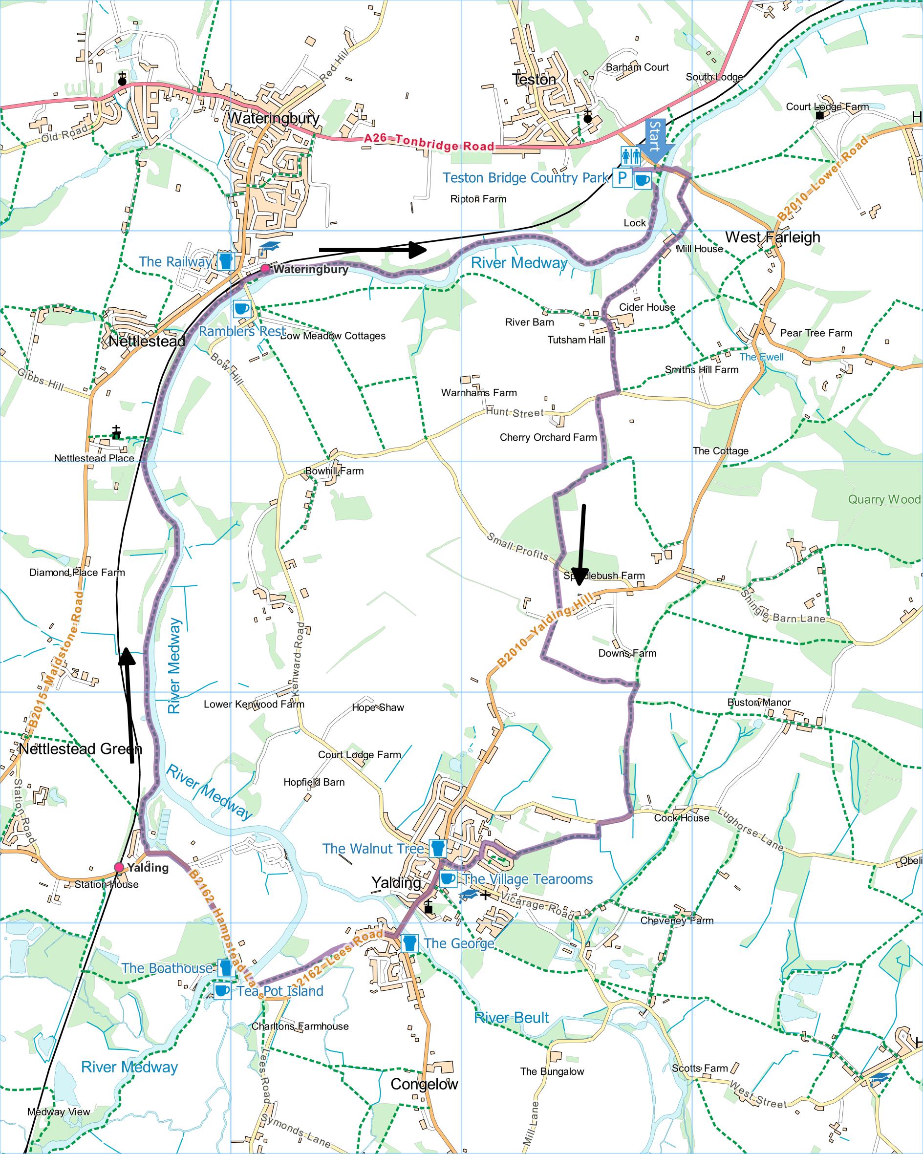
Click map to enlarge and click
again to enlarge further
Park at Teston Country Park (£2.50 and weekends and
£1.50 on weekdays).
Head across meadow towards
medieval stone bridge, climb up to road and cross
bridge. Take permissive path (extension to path
KM21) on the left parallel to the road but just before
metal gate turn right down steps past information board
and cross road onto tarmac drive.
Follow drive, bearing first left and then right, then
passing some cottages and going through gate past
concrete pill box, onward to Tutsham Hall. Bear
left past Hall, heading uphill along another tarmac
drive to lane (Hunt Street).
Turn right and take
first path on the left along left hand edge of field.
At the top corner turn right and look for stile in hedge
on left. Over stile, turn right along right hand
edge of field and at corner continue in same direction
along edge of scrub. At post (currently fallen and
propped against tree on right) turn left uphill out of
orchard, across scrubland and through chestnut coppice
to lane (Small Profits).
Cross lane into orchard, bear left for a few metres
over stile then turn right with hedge on your right.
Continue to lane (Yalding Hill).
Bear right to take
footpath across middle of large field (in direction of
Yalding church in valley bottom) and after about 200
metres, at right hand end of fence, turn left along path
between fences to sunken track. Turn right downhill to
Lughorse Lane.
Turn right and take path on left up bank through
metal kissing gate. Follow path through woods with
fence on right to emerge through another kissing gate
into street. Turn right, at end turn left and at
corner take path (Windmill Way) signposted Greensand Way
past almshouses. Follow Greensand Way signs to
centre of Yalding.
Turn left down main street (street market on Saturday
mornings) past church and over river to T-junction.
Turn right and when buildings end bear right across
meadow (where there are seats for lunching) to bridge
over Medway. Cross bridge then walk between canal
on left and Hampstead Road on right until road crosses
canal. Turn right onto canal towpath following
both Greensand Way and Medway Valley Walk.
Follow towpath (Greensand Way soon leaves on left),
becoming riverside path when canal joins the Medway, all
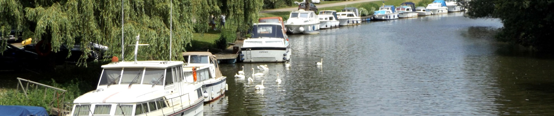
the way to Wateringbury. Cross the road and
continue past signal box along riverside path with river
on your right. After passing Teston lock and with
Teston Bridge in sight, bear left across meadow back to
car park.
Public Transport
The walk could easily be started at either Yalding or
Wateringbury stations on the Tonbridge to Maidstone West
line which has a regular service including Sundays.
|
Points of Interest
Tea Pot Island

Nice café with splendid all-day breakfast but only
open daily from April to October – winter opening very
restricted. There is a tea pot museum for those
that are into that sort of thing at an additional
charge. The Boathouse just across the river offers
a wide range of refreshment
Yalding Village Tea Rooms
Open Tuesday to Saturday 8:30 to 4:00 except for
closing at 2:30 on Tuesday and opening at 9:00 on
Saturday.
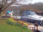
Wateringbury
Teston Lock
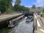
The current lock was built in 1911 to replace the
original made of oak and constructed in the 1740s.
In addition to the walking routes on our web site we
have published three popular walking guides:

Guide to Tunbridge
Wells Circular Walk and other walks in the area

Guide to the
Kent Coast Path: Part 1, Camber to Ramsgate

Guide to Three
River Valley Walks in West Kent: Darent Valley Path,
Eden Valley Walk and Medway Valley Walk
Please report any problems with this walk to
info@kentramblers.org.uk.
Ramblers' volunteers in Kent work tirelessly to
ensure that our paths are as well protected and
maintained as possible. Of course we also organise
led walks but most of our members are independent
walkers who simply want to support our footpath work.
Please
join us and become a supporter too. You need
us and we really need you.
Map contains Ordnance Survey data © Crown copyright
and database rights 2020. Some paths on map are based
on data provided by Kent County Council but do not
constitute legal evidence of the line of a right of way |