Maps
The whole route is covered by OS Explorer maps 163, 148,
136, 147, 135 and 123.
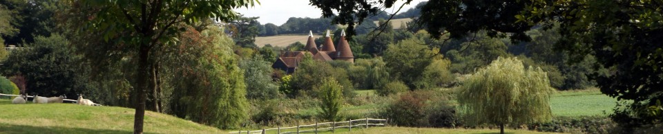
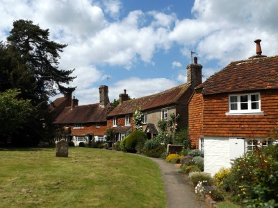
Luddesdown
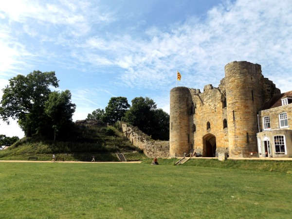
Tunbridge Castle
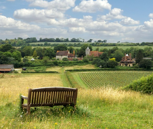
Withyham Valley
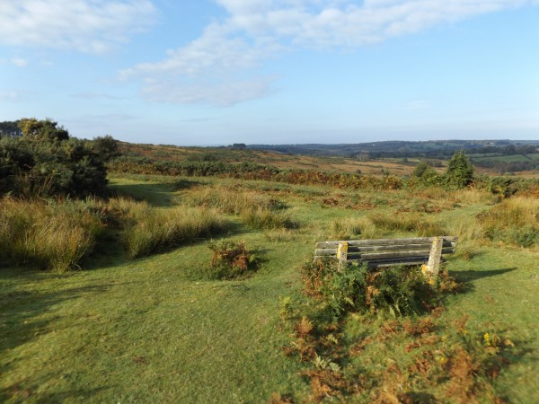
Ashdown Forest
Hellingly
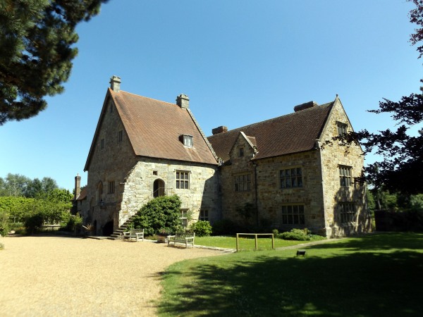
Michelham Priory
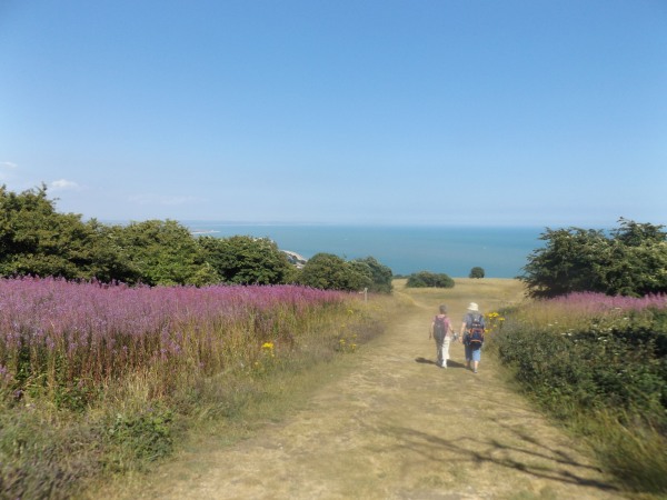
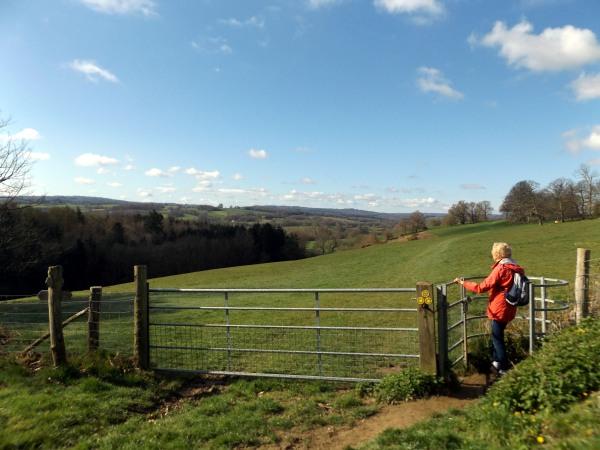
Nearing Eastbourne
|
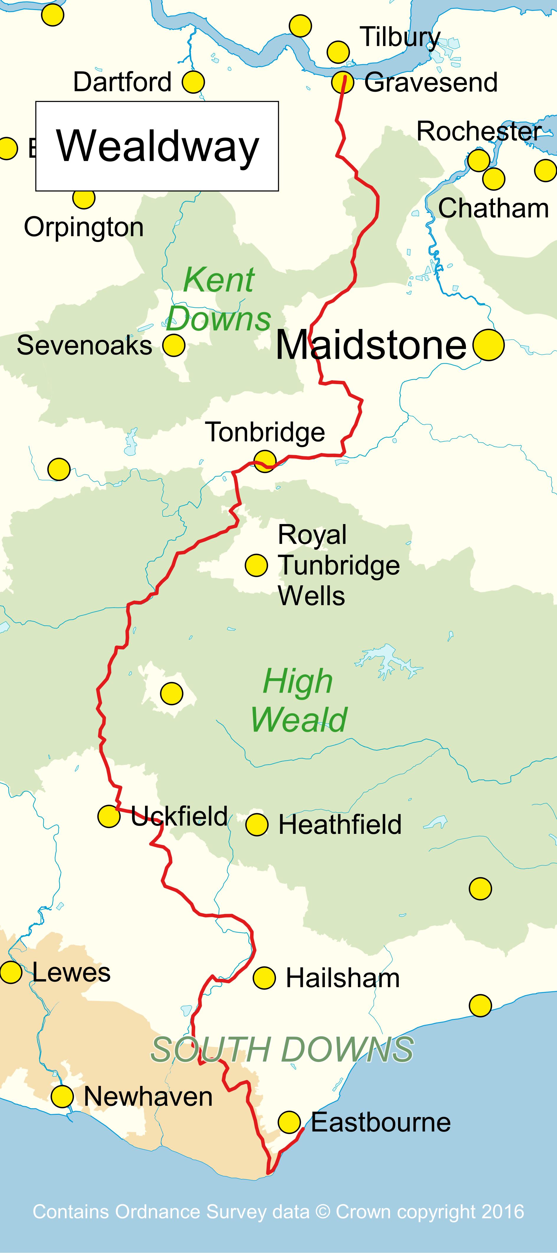
Wealdway
The Wealdway is a superb walk running 82 miles from
Gravesend on the Thames Estuary to Beachy Head and
Eastbourne on the south coast. It crosses the North
Downs, the Greensand ridge, the Medway valley (twice),
the High Weald (including Ashdown Forest), the Low Weald
and the South Downs.
This is quintessentially English countryside with
rolling downs, archetypal village greens on which
cricket has been played for centuries, deep wooded
valleys and traditional pubs. History abounds with
numerous furnace and hammer ponds reminding us of the
iron industry that characterised the Weald in the times
of the Tudors and Stuarts and many fine old houses
constructed of materials that vary along the route with
the underlying geology. Despite its proximity to many
towns and with London not far away, much of the route
has a surprisingly remote feel to it.
Kent Ramblers have published a new guide to the walk:
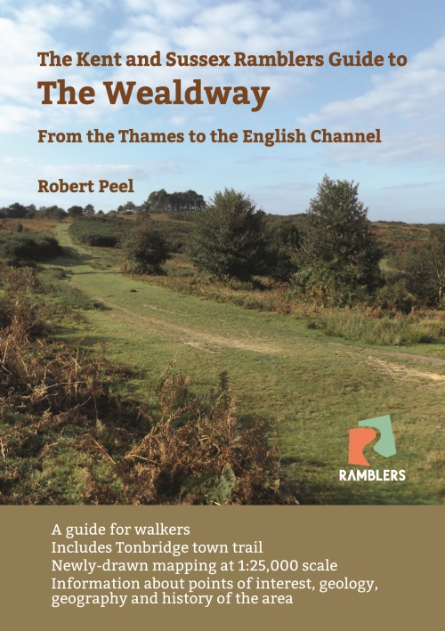
Available now from our books page.
Relevant links:
Explore Kent
Long Distance Walkers Association
|