Sevenoaks Weald and
Bore Place
Distance: 5.6 Miles (2 hrs 45 mins)
OS Map: Explorer 147 (Start at grid
reference TQ527508)

Click map to enlarge and click
again to enlarge further
Park in Sevenoaks Weald. There is usually room
to park on the road alongside the village green near the
school. The village is easily approached from the
A21 – drive straight through the village to reach the
village green on the other side.
From school, walk back towards pub and take first
turn on left –track along Wickhurst Road. Follow
track for almost a kilometre past large houses and farms
to Wickhurst Manor. Just before the Manor, turn
left on track that passes in front of house (actually
second left, past drive leading to Cedar House on left)
and after just a few metres go through metal gate on the
left. Cross field diagonally to pedestrian gate a
few metres right of corner, go through and bear left to
gate in corner. Follow left hand edge of next
field to corner and cross track through two gates.
Follow the left hand edge of next field uphill to
another gate then continue straight on still climbing
across next field to gate to left of house and into
lane.
Turn right past house and then take footpath on
opposite side of road. Make for gap in hedge
opposite (slightly to right of straight on). Once
through hedge bear about 45º right across next field.
Once over brow of hill you will see ahead and below row
of large oaks bridging gap between two woods. Make
for left hand end of row (at lowest point of field)
where there is waymark post. Turn right and follow row
of oaks uphill to hedge around wood. Turn left and
at the corner of the wood, soon reached, bear right
across field to footbridge in far corner. Over
bridge, turn left, following stream until you to
junction of several paths at corner of wood. Bear
left across bridge, climb stile into field and go
diagonally across to edge of wood at top left of field.
Bear right and walk full length of field parallel to
left hand edge.
At far end of field a fence bridges gap between two
woods. Go through gate towards left hand end of
fence. Follow edge of wood on left briefly until
it turns left at corner. Carry straight on down
field. Line of path is often not well marked in
this field, so if it is not planted with crops walk
roughly down middle, passing just to right of
electricity pole, to gate near right hand end of far
side. If field is planted with crops, you may have
to follow right hand edge of field to corner and then
turn left to gate.
Through tgate follow right hand edge of field until
you come to gate on right. Go over stile by gate onto
track and turn left along it. Follow lane through
Bore Place and down drive to road. Turn left along
road.
At first bend (sharp left) there is a drive on right
leading to Bushy Wood Place. Just left of drive,
in hedge up bank, is a stile. Climb bank, go over
stile and diagonally across field to another stile at
left hand end of copse. Over stile, maintain
direction diagonally across corner of field. Enter
another field at corner and continue at 45° across field
to gate on far side (if field is cropped and path not
reinstated you my prefer to go along right hand edge
then turn left at corner to find gate on right).
Don’t go through gate but continue along right hand edge
of field to corner.
Go through gate and across middle of field, over
stile and down to meet lane at corner.
Go past house on right and take footpath along farm
track the right. At top bear left between farm
buildings into field. Face field as if to go
straight across then turn 45º to right. Now walk
diagonally across to far corner of field (mainly
downhill). (If ploughing or crops make this
impossible, go right and follow the field edges to the
far corner instead.) At corner cross footbridge,
turn sharp left soon reaching track. Turn right.
At first gateway on left, enter field and bear half
right to corner of hedge then half right along edge of
woodland. Follow edge of field with woodland on
left. When, after stile, edge of woodland turns
sharp left, go straight across to meet edge of woodland
where it resumes original line. When woodland on
left finally ends, go over bridge and stile on left then
through chain gate and cross field to copse on top of
ridge. Pass to left of copse and descend to cross
track via two gates. Carry on down to bottom of
field and crossfootbridge.
Go straight across next field, initially uphill and
then down again, to cross another footbridge.
Cross next field soon with hedge and fence on left and
left hand edge of field to stile in corner and into
lane.
Go straight across the lane onto a track through a
wooded glade. Follow this track until it forks in
front of a house that stands immediately ahead.
Take the left fork back to the village green at
Sevenoaks Weald.
|
Points of Interest
Bore Place

The house and estate are home to the Commonwork
social enterprise organisation working for sustainable
farming, environmental protection and education.
They operate an organic farm and a conference and study
centre.
Public Transport
Bus service 5 between Tonbridge and Sevenoaks stops
at Sevenoaks Weald. There are only three buses a
day in each direction, none at weekends, but it is
feasible to use these buses to tackle this walk.
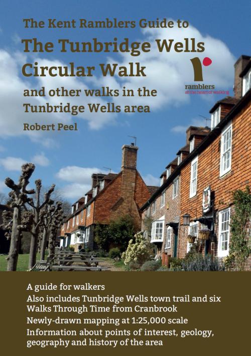
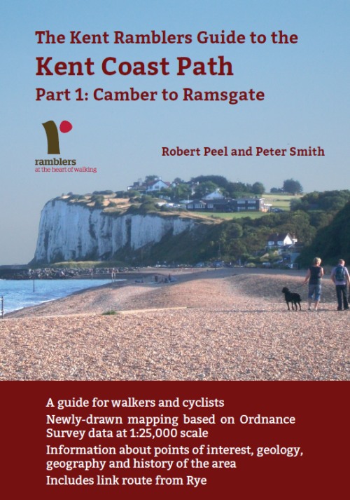
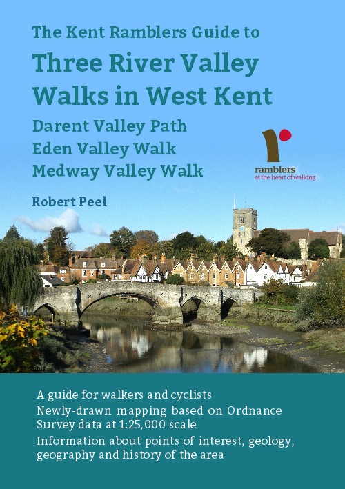
In addition to the walking routes on our web site we
have published three popular walking guides:

Guide to Tunbridge
Wells Circular Walk and other walks in the area

Guide to the
Kent Coast Path: Part 1, Camber to Ramsgate

Guide to Three
River Valley Walks in West Kent: Darent Valley Path,
Eden Valley Walk and Medway Valley Walk
Please report any problems with this walk to
info@kentramblers.org.uk.
Ramblers' volunteers in Kent work tirelessly to
ensure that our paths are as well protected and
maintained as possible. Of course we also organise
led walks but most of our members are independent
walkers who simply want to support our footpath work.
Please
join us and become a supporter too. You need
us and we really need you.
Map contains Ordnance Survey data © Crown copyright
and database rights 2022. Some paths on map are based
on data provided by Kent County Council but do not
constitute legal evidence of the line of a right of way |

