Limpsfield Chart and
Crockham Hill
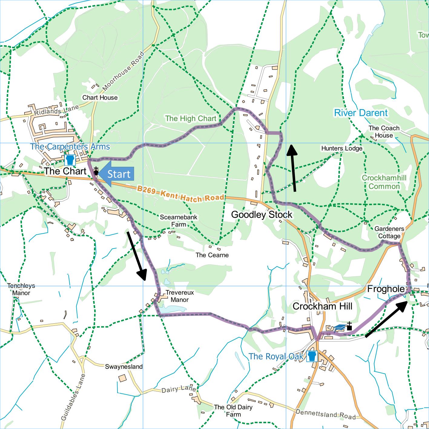
Distance: 4.2 Miles (1h 50m)
OS Map: Explorer 147 (Start at grid
reference TQ427519)
Click map to magnify and click
again to magnify further
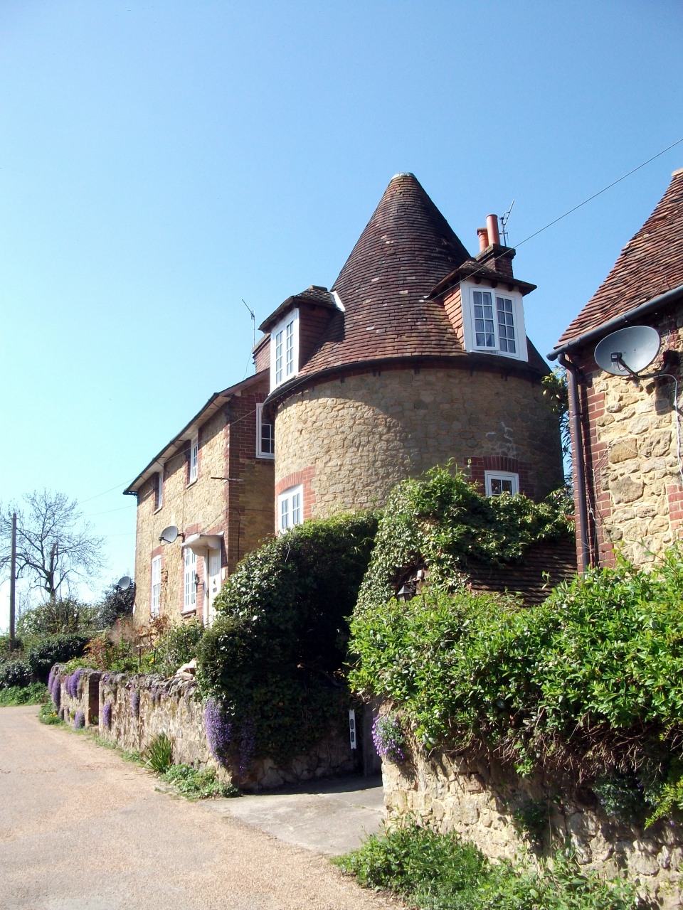
Limpsfield Chart is approached from Westerham.
Take the A25 westwards out of Westerham. Take a
left turn, not well signposted, opposite the car park of
the Grasshopper inn – just before the inn itself.
After a double bend, keep left until a road junction.
Bear left. The best place to park is in an area
opposite the church. There are several other car
parks nearby to use when this is full.
After parking, continue down Moorhouse Road and cross
the main road. Go down Trevereux Hill, ignoring a
right fork soon reached but keeping right at any later
junctions. When, after passing through a gate, you
see Trevereux Mansion ahead, bear right and, opposite
the first of Trevereux Cottages on the right, climb a
stile on the left. Follow the fence along the left
hand edge of the field. When the fence turns left
at a corner, follow it round and walk along the top edge
of the field. Cross a stile and the top of another
field. Cross another stile and go through a small
wood. Climb to the top corner of the next field.
Turn right along Oakdale Lane and at the end turn right
down Smiths Lane a few metres to the junction with the
main road.
Cross the main road and go up the far side.
Take the first right turn past the village hall, school
and church. Octavia Hill, one of the three
founders of the National Trust, is buried here – her
grave is on the right under the yew tree as you enter
the churchyard and there is an impressive memorial to
her in the corner of the church furthest from the door.
There is also a stained glass window installed in 1995
to commemorate the centenary of the National Trust and
Octavia Hill’s work. Go through a kissing gate at
the bottom of the church car park and take a slightly
rising path to a gate – there are several benches on the
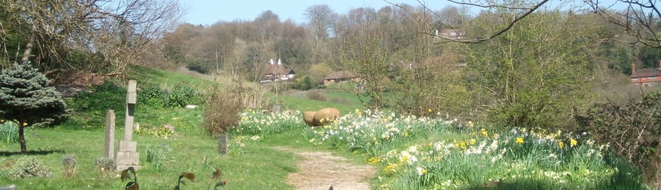
left should you want to rest and enjoy the view.
Continuing at roughly the same height, cross a stream on
some old railway sleepers then gently descend to the far
left corner of the field. Go through gate and
across a bridge. Go up left hand side of field,
over stile and climb steep steps to Froghole. Turn
left up Froghole Lane to main road.
Cross road and take path immediately opposite,
keeping left and ignoring all right turns, until you
pass some houses on left. At a fingerpost, go
right then almost immediately left along path waymarked
with yellow Greensand Way marker. Follow yellow
and blue Greensand Way markers through woods to valley
bottom and turn right (at the time of writing the
waymarks on this post are wrongly aligned – you turn
right following a yellow waymark rather than go forward
following a blue waymark as indicated) along broad track
past a house on left. Go through kissing gate and
take upward path, still following Greensand Way markers.
As path levels out, take first left turn, very soon
reaching road. Cross road, bearing right to take
narrow path between houses into wood. At junction
of five paths take track half left, clearly marked as GW
or Greensand Way.
At first fork bear right and follow Greensand Way
markers back to Limpsfield Chart.
|
Points of Interest
Trevereux House
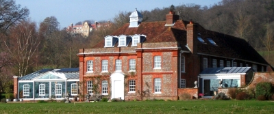
A Grade II listed manor, it was gutted by fire in
1987 but the Queen Anne façade survived. It was
rebuilt in the 1990s by Richard Stilgoe, a well-known
broadcaster, writer and performer who wrote the lyrics
for Andrew Lloyd Webber’s Starlight Express. The
fine pond attracts large numbers of waterfowl and the
island boasts a splendid duck house with classical
columns.
Octavia Hill
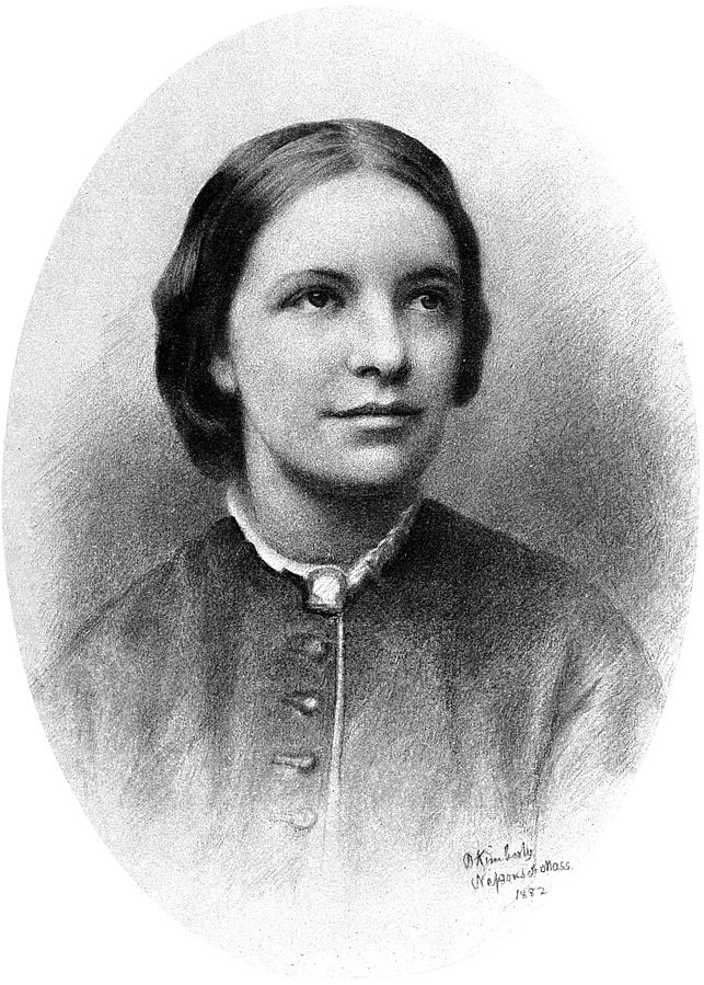
Although best remembered as a joint founder of the
National Trust, Octavia Hill spent much of her life
trying to improve living conditions for the poor,
especially in the slums of Southwark. John Ruskin,
a formative influence in her life and advocate of the
Pre-Raphaelites, bought three slum properties and gave
them to Octavia to manage.
In addition to the walking routes on our web site we
have published three popular walking guides:

Guide to Tunbridge
Wells Circular Walk and other walks in the area

Guide to the
Kent Coast Path: Part 1, Camber to Ramsgate

Guide to Three
River Valley Walks in West Kent: Darent Valley Path,
Eden Valley Walk and Medway Valley Walk
Please report any problems with this walk to
info@kentramblers.org.uk.
Ramblers' volunteers in Kent work tirelessly to
ensure that our paths are as well protected and
maintained as possible. Of course we also organise
led walks but most of our members are independent
walkers who simply want to support our footpath work.
Please
join us and become a supporter too. You need
us and we really need you.
Map contains Ordnance Survey data © Crown copyright
and database rights 2020. Some paths on map are based
on data provided by Kent County Council but do not
constitute legal evidence of the line of a right of way |