 Ten
Favourite Walks Ten
Favourite Walks
Walk 6: Scotney Castle and Bewl Water
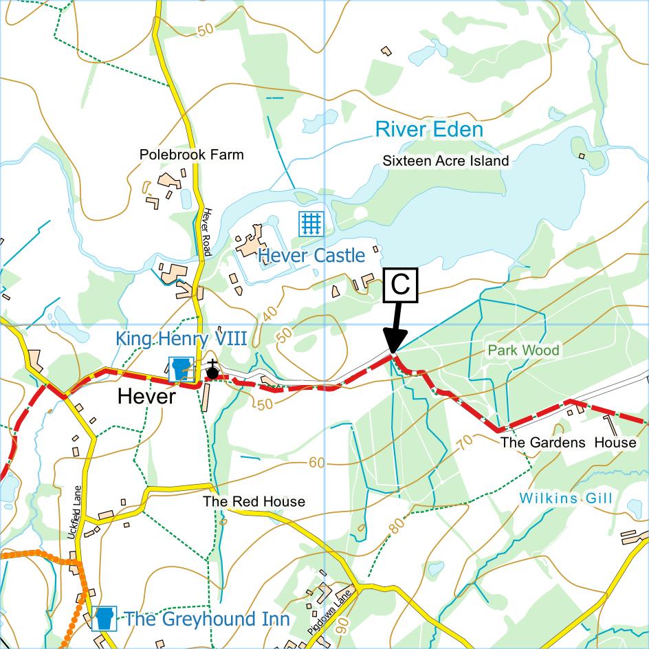
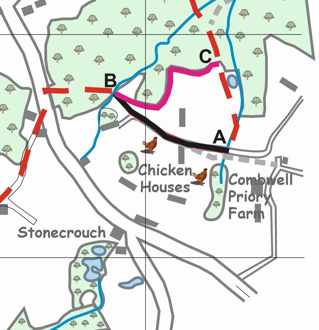 The
path north of the chicken runs at Combwell Farm has been
diverted. The section of the route AB shown in
black has been extinguished and the section CB shown in
pink has been created. When emerging from the wood
at point C ("Emerge from..." at bottom of first column
of route description) walkers should, instead of
continuing forward, turn right and follow the new path
between the wood and a fence then cross a short section
of field to re-enter the wood at point B. From
here follow the directions in the guide: "Follow yellow
waymarks through wood..." The
path north of the chicken runs at Combwell Farm has been
diverted. The section of the route AB shown in
black has been extinguished and the section CB shown in
pink has been created. When emerging from the wood
at point C ("Emerge from..." at bottom of first column
of route description) walkers should, instead of
continuing forward, turn right and follow the new path
between the wood and a fence then cross a short section
of field to re-enter the wood at point B. From
here follow the directions in the guide: "Follow yellow
waymarks through wood..."
Walk 10: Emmetts Garden and French Street
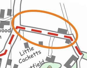 The
most northerly part of the route, shown on the map, goes
along a short section of lane. Although walkers
have used the lane without problems for many years,
there have been reports of walkers being
challenged when doing so. The
most northerly part of the route, shown on the map, goes
along a short section of lane. Although walkers
have used the lane without problems for many years,
there have been reports of walkers being
challenged when doing so.
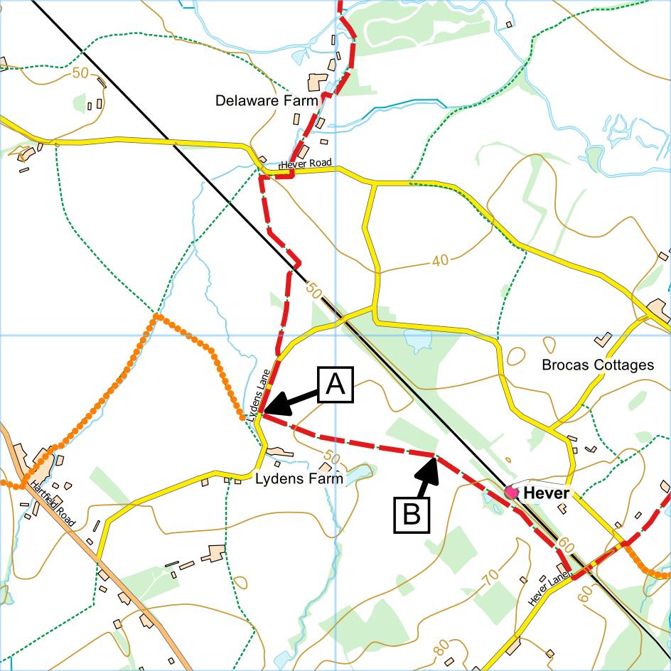
It is the view of Kent Ramblers that this lane carries a
public footpath and that walkers have every right to use
it. Accordingly we have made an application to
Kent County Council to have the route added to the
definitive map which, if successful, will result in the
route being shown on Ordnance Survey Explorer maps as a
green dotted line. Unfortunately applications of
this sort take a long time to be dealt with – at least
three years before they are even considered.
We have not heard of any challenges in the last
couple of years. Please let us know if you are
challenged.
|


 Page
17. The length of Section 2 is 6.1 miles = 9.7 km.
Page
17. The length of Section 2 is 6.1 miles = 9.7 km.